Are you looking for a high-quality **3D model** to visualize and enhance your residential area? Look no further! Our Aerial Landscape Model offers a stunning **3D design** of your residential area, created using advanced scanning techniques.
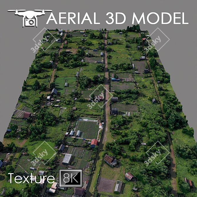
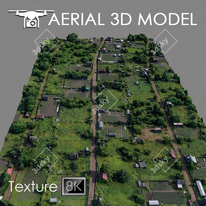
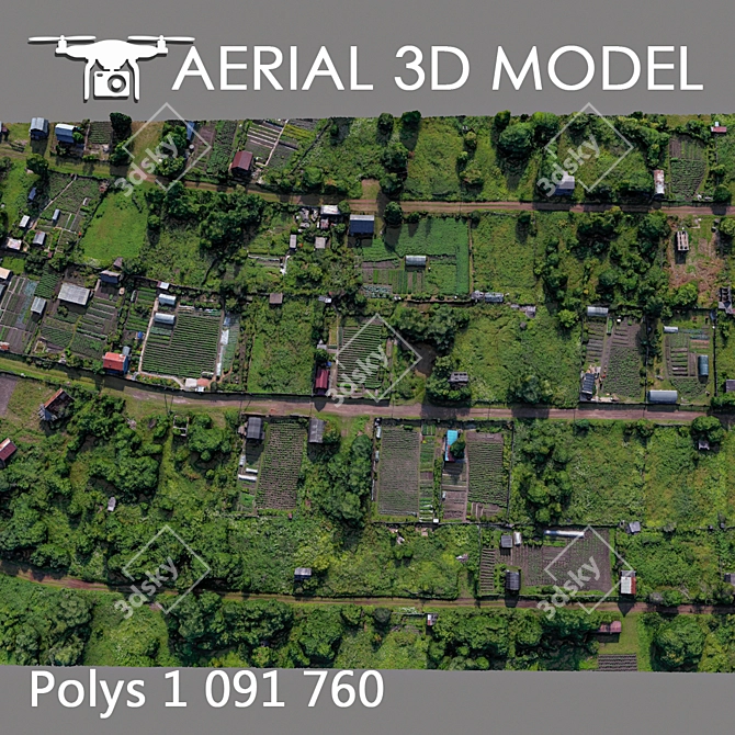
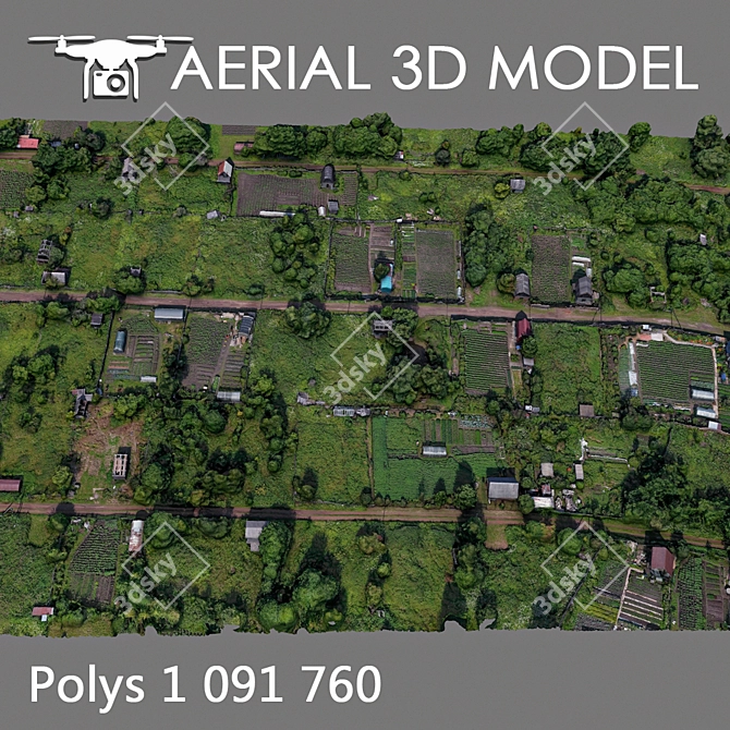
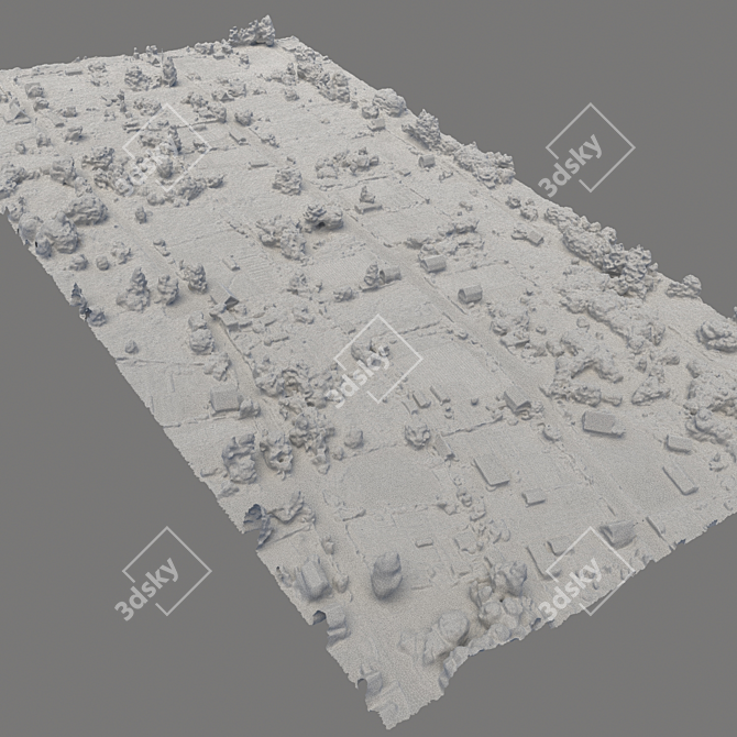
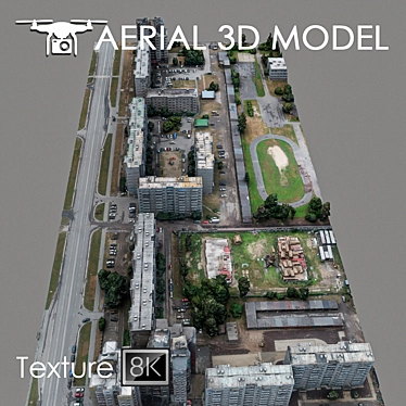
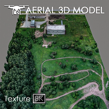
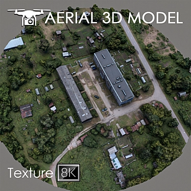
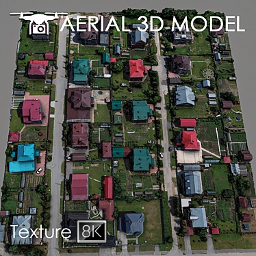
Our Aerial Landscape Model is created using a quadcopter at a height of 60 m, capturing every detail of your residential area. This **3D model** is based on real photographs, ensuring an accurate representation of your terrain.
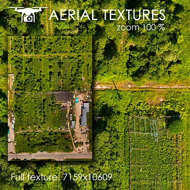
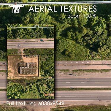
Designed with precision, our Aerial Landscape Model is textured with high-resolution scans of 8192x8192, providing you with crisp and realistic visuals. You can now visualize master plans with ease, using this background filling as a reference for your **3D interior decor**.
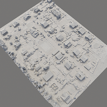
With our Aerial Landscape Model, editing is a breeze. Simply add the Slice modifier to cut the model according to your desired areas. This flexibility allows you to focus on specific regions and create **3D room designs** that cater to your unique vision.
The Aerial Landscape Model is ideal for distant shots as a preview. Offering a comprehensive view of your residential area, this **3D model** allows you to get an overall sense of the landscape and its features. Experience the convenience of visualizing your **3D home design** before moving forward with implementation.
Ready to revolutionize your residential area with an exceptional **3D model**? Download the Aerial Landscape Model now from **3dsky** and unlock the potential of stunning visualizations.