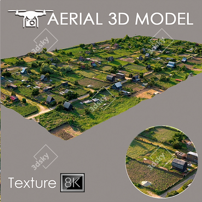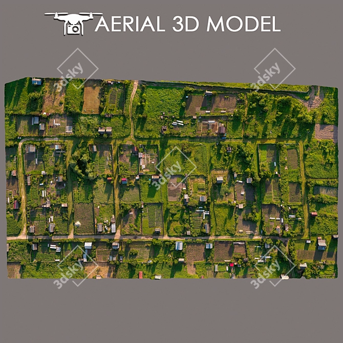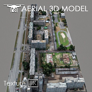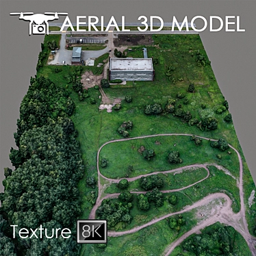
Are you in need of a top-notch 3D model to enhance your interior design or architectural projects? Look no further than Aerial Scan 3D Landscape. This incredible 3D model, available for download on 3dsky, has been meticulously created using advanced techniques and high-resolution texture scans.
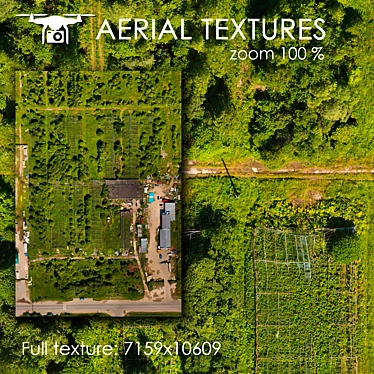
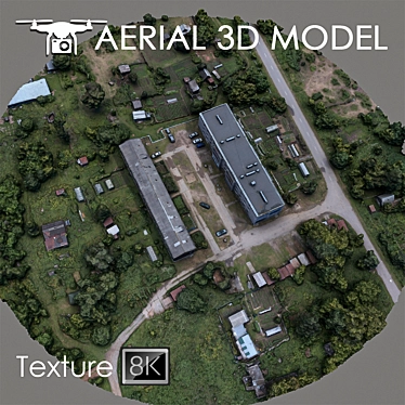
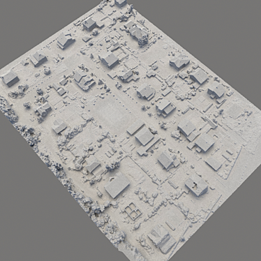
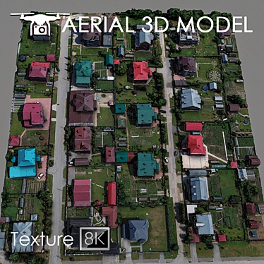
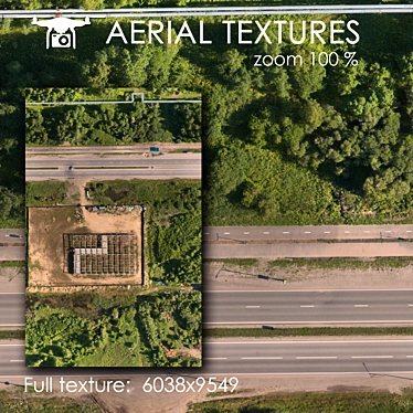
The Aerial Scan 3D Landscape is the result of a comprehensive scanning process performed using a quadrocopter positioned at an altitude of 60m. The resulting model is a stunning representation of the terrain, capturing intricate details and features of the landscape.
The model, compatible with the widely used software 3ds Max, consists of one Edit Poly with a single texture scan measuring 8192x8192. This impressive resolution ensures crystal-clear visualization, providing accurate representation of the landscape.
Enjoy seamless integration of the Aerial Scan 3D Landscape with your master plans as a captivating background fill. Whether you're designing a room or working on a large-scale project, this 3D model offers unparalleled realism and immersion.
To tailor the Aerial Scan 3D Landscape to your specific needs, we recommend utilizing the Slice modifier. This powerful feature enables you to trim the model to fit your desired areas, giving you full control over the visual representation of your project.
Please note that while the Aerial Scan 3D Landscape is suitable for previewing purposes in long-range plans, its vast potential lies in providing a captivating and accurate representation of your envisioned space.
Unlock the incredible potential of 3D interior decor by incorporating the Aerial Scan 3D Landscape into your projects. Download this remarkable 3D model today and take your interior design ventures to new heights.